A map in a thesis needs two citations: a short in-text callout that points the reader to the figure, and a full reference-list entry that records who produced it, what it is called, its scale or extent, the publisher, the year, the file format and where it can be found. That is how to cite map data and imagery in a thesis, whether the map came off a printed sheet, out of a GIS project or from a satellite scene. The templates below follow APA 7th edition, MLA 9th edition and Chicago 17th edition, so check which one your department uses before you start typing.
Maps and spatial datasets are evidence, not decoration. An unattributed map gets treated the same way an unattributed quotation does.
Table of Contents
- 1What You Need
- 2Step-by-Step: How to Cite Map Data and Imagery in a Thesis
- 3Step 1: Identify What You Are Citing
- 4Step 2: Record the Source and Version Details
- 5Step 3: Cite the Map in the Figure Caption
- 6Step 4: Add the In-Text Citation
- 7Step 5: Create the Reference-List Entry
- 8Step 6: Check Attribution, Licence, and Reuse Rights
- 9Common Mistakes
- 10Frequently Asked Questions
- 11How do I cite a map in APA 7th edition?
- 12How do I cite maps in MLA 9th edition?
- 13How do I cite Google Earth imagery in MLA?
- 14How do I cite a map I made myself in ArcGIS Pro or QGIS?
- 15Do I need to cite a basemap or tile layer?
- 16How do I cite an interactive map in a thesis?
- 17Conclusion
What You Need
Collect the source information before you write the caption, because the caption is the last thing you should produce. Most of these fields sit on the landing page of a dataset or in the metadata file that shipped with it.
- Creator or author. The person or organisation that made the map. For government data this is the publishing agency.
- Title of the map or dataset. Use the official title, including any series name such as a topographic sheet series or a national collection.
- Format descriptor. The bracketed word that tells the reader what kind of object it is: [Map], [Data set], [Software], [Satellite image], [Aerial photograph].
- Scale or geographic extent. Scale matters for cartographic products such as 1:24,000 sheets; extent matters for datasets, where the bounding box or place names are usually more useful.
- Publisher and place. The organisation that distributes the item. When the creator and the publisher are the same body, APA 7 says omit the publisher.
- Year, and version or release where it exists. Datasets change, so a version number or release date often matters more than the year.
- File format. Shapefile, GeoTIFF, GeoPackage, GeoJSON, NetCDF, PDF.
- Access date and persistent identifier. A DOI where one exists, otherwise the URL, plus the date you retrieved it for anything that changes.
- Software name and version. ArcGIS Pro 3.4, QGIS 3.40, and so on.
- Licence. Open Government Licence, Creative Commons, an academic site licence or a commercial one.
- Every layer that went into your own figure. Including the basemap, which people routinely forget.
- The figure number and page. Word and LaTeX can cross-reference these automatically; use that instead of typing numbers by hand.
| Element | What to record | Where to find it |
|---|---|---|
| Creator | Person, research group or agency | Item landing page, metadata file |
| Title and format | Official title plus bracketed descriptor | Landing page header |
| Scale or extent | 1:24,000 or bounding box / place names | Map margin, metadata |
| Version | Release number or edition | Download page or file properties |
| Access date | Day you downloaded or viewed it | Your own download history |
| Licence | Licence name and version | Licence page or terms of use |
Step-by-Step: How to Cite Map Data and Imagery in a Thesis
Step 1: Identify What You Are Citing
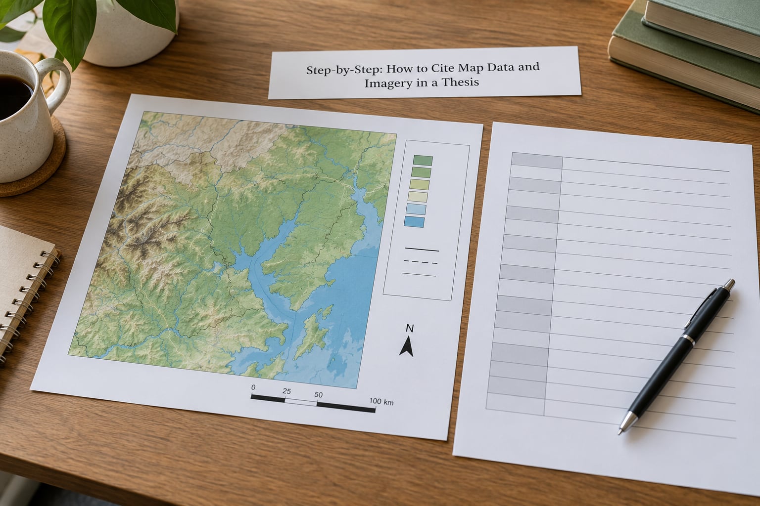
Separate three things that people constantly merge: the visual object, the data behind it and the imagery underneath. A study-area map you exported from ArcGIS Pro is your figure, but the administrative boundaries, the digital elevation model and the basemap all belong to other people.
So one figure may need three or four citations. This is where most people go wrong on how to cite map data and imagery in a thesis: the map itself gets one credit, and every layer underneath it gets its own. The rule of thumb is simple: cite every source you did not create. If you downloaded it, adapted it or clipped it, it still needs a reference. A map redrawn from a single published source still needs one citation for that source; a composite map needs one for each layer.
Step 2: Record the Source and Version Details
Most repositories publish a suggested citation on the dataset page, usually at the bottom under “Cite this dataset” or “Citation”. Copy it, then check that it matches what you actually used, because the suggested citation sometimes points at the newest release rather than the one you downloaded.
If there is no suggested citation, the metadata file inside the download will carry the creator, title, version and date. Open the item page in a browser and read the abstract and licence block. Write the details into your worksheet before you leave the page; hunting for them again three weeks later is the slow part of this job.
Step 3: Cite the Map in the Figure Caption
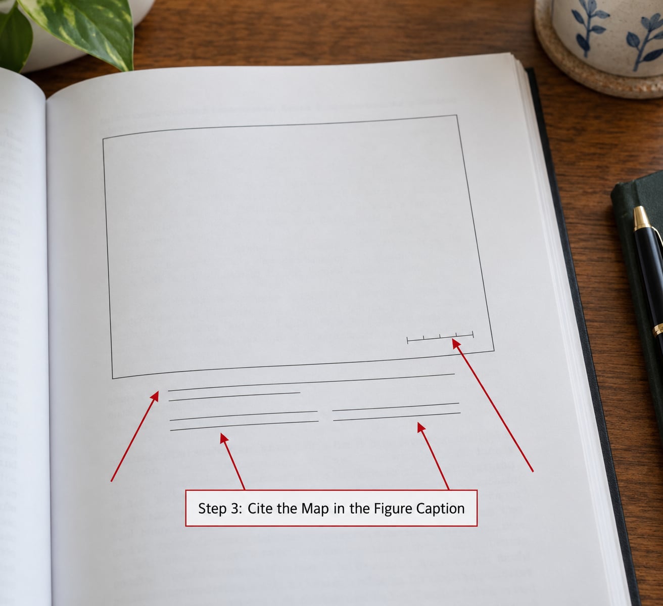
The caption sits under the figure and tells the reader what they are looking at. It is not the same thing as the reference-list entry: the caption is descriptive, the reference entry is bibliographic. Numbered figures follow the style guide, usually Figure 3.1 or Figure 3 depending on whether the thesis is numbered by chapter.
A caption that carries the essentials looks like this:
Figure 3. Study area and sampling sites, 2024 survey season. Basemap: OpenStreetMap contributors, OpenStreetMap licence. Boundary data: Ordnance Survey, Open Government Licence. Imagery: Sentinel-2 scene T51PQR, acquired 14 August 2024. Cartography by the author, 2026, using ArcGIS Pro 3.4, WGS 1984 UTM zone 49N.
If the map is adapted from a published figure, say so and give its number: Adapted from Figure 2 of Osei and Mensah (2023). Adapted does not mean exempt.
Step 4: Add the In-Text Citation
The in-text citation does two jobs: it points at the figure and it credits the source. For a map you made yourself, the figure callout carries the credit: (see Figure 3), plus the data sources named in the caption.
When someone else produced the source, add an author-date citation. Use the organisation name when no individual author is named: (Figure 2; Ordnance Survey, 2024). Government statistical bodies usually get the same treatment, as do companies that publish their own imagery. Journal sources use the first author’s surname as normal, and a figure inside a published article is cited by the article, not by the cartographer.
| Source type | In-text form | Where the detail goes |
|---|---|---|
| Map you produced | (see Figure 3) | Full source list in the caption |
| Organisation dataset | (Figure 2; Ordnance Survey, 2024) | Reference list |
| Government statistical map | (Figure 1; U.S. Census Bureau, 2023) | Reference list |
| Map inside a journal article | (Figure 2 in Osei & Mensah, 2023) | Reference list |
| Commercial imagery | (Figure 4; Maxar Technologies, 2025) | Reference list plus credit line on the map |
Step 5: Create the Reference-List Entry
Three styles cover almost every thesis. APA 7 puts the creator first and uses a sentence-case title; MLA 9 leads with the title when no author is named and ends with the location where you accessed it; Chicago 17th in notes-bibliography style repeats the source in a numbered note and a bibliography entry.
| Style | Element order for a map or dataset |
|---|---|
| APA 7 | Creator. (Year). Title [Map / Data set / Satellite image]. Publisher. DOI or URL |
| MLA 9 | Creator. Title. Publisher, Year. Format. DOI or URL. Accessed Day Month Year. |
| Chicago 17th | Creator. Title. Format. Publisher, Year. DOI or URL. |
Worked examples, all based on real source types:
- Published sheet map (APA 7): Ordnance Survey. (2023). Clevedon and Nailsea: OS Explorer OL30 [Map]. https://getmaps.os.uk/
- GIS dataset (APA 7): OpenStreetMap Foundation. (2024). OpenStreetMap data extracts [Data set]. Version 2024-09-05. https://download.openstreetmap.fr/extracts/
- Satellite scene (APA 7): U.S. Geological Survey. (2024). Landsat 8 Collection 2 scene LC08_L1TP_120130_20240814_20240820_02_T1 [Satellite image]. https://doi.org/10.5066/P9OGBGM6
- Aerial photograph (APA 7): Danish Environmental Protection Agency. (2022). Orthophoto, 2 cm/px [Aerial photograph]. Flight 2022-04-18, frame 4712.
- Google Earth screenshot (MLA 9): “Study Area.” Google Earth, Google, 2024, earth.google.com/web/. Accessed 12 Mar. 2026.
- Interactive map (APA 7): Author. (2026). Flood extent 2026 [Interactive map]. ArcGIS Online. Retrieved 2 April 2026, from https://arcgis.com/
- Map you produced (APA 7): Author. (2026). Change in canopy cover 2016-2024 [Map]. Unpublished thesis figure.
- Software (APA 7): Esri. (2025). ArcGIS Pro (Version 3.4) [Computer software]. https://www.esri.com/
Note that the self-produced map gets an in-text callout and a caption, but normally no reference-list entry, because a thesis cannot cite itself. Say “the author” in the caption and leave the bibliography alone.
Step 6: Check Attribution, Licence, and Reuse Rights
A citation is not permission. It tells the reader where something came from; it does not give you the right to republish it. Open Government Licence data usually needs an attribution statement, OpenStreetMap requires the credit line naming OpenStreetMap contributors, and commercial imagery usually permits academic and internal use only.
Print the required credit line in small type on the map itself as well as in the caption. Examiners and journals look for it there, and it costs you nothing. Getting how to cite map data and imagery in a thesis right also means knowing which of your sources you are allowed to publish online afterwards.
Common Mistakes
Most citation problems in theses come from treating the map as one object rather than several. These are the ones that come back marked.
- Citing the software instead of the data. ArcGIS Pro is a tool, not a source. Correct it by citing every layer separately and the software once in your methods section.
- Treating a screenshot as the source. A Google Earth screenshot is evidence that you used that view, not the origin of the imagery. Cite Google Earth as the map publisher and name the imagery provider in the caption.
- Omitting the acquisition date on a satellite scene. Scenes are identified by acquisition date, processing level and scene or path ID, and examiners do check these. Copy them from the product metadata.
- Leaving out the basemap. Every tiled basemap carries a licence with a required credit line. Add it to the caption and the reference list.
- Not saying a map is adapted. If you redrew, recoloured or trimmed a published map, write “adapted from” and cite the original figure number.
- Mismatched figure and reference numbers. Use automatic cross-referencing in Word or LaTeX so renumbering propagates.
- Missing access dates on dynamic services. An ArcGIS Online map, a web map service or a portal viewer changes. Record the day you viewed it.
- Citing a thesis as though it were the map. Reuse a map from another thesis by citing that thesis and naming the figure, not by treating the map as independent work.
Before you submit, check three things: every figure has a number and a caption, every caption names its data sources, and every reference entry can be traced back to a landing page that still resolves. Ten minutes of that check saves a resubmission.
Frequently Asked Questions
How do I cite a map in APA 7th edition?
In APA 7, give the creator, the year, the title in italics, a bracketed format descriptor such as [Map] or [Data set], the publisher, and a DOI or URL. For example: Ordnance Survey. (2023). Clevedon and Nailsea: OS Explorer OL30 [Map]. https://getmaps.os.uk/ If the creator and publisher are the same organisation, omit the publisher. Add a retrieval date only for content that can change, such as an interactive map or a web mapping service.
How do I cite maps in MLA 9th edition?
MLA 9 leads with the creator’s name, then the italic title, the publisher, the year, the format of the item and the location. When no author is named, begin with the title. Finish with the access date for anything you viewed online. Example: Ordnance Survey. Clevedon and Nailsea: OS Explorer OL30. Ordnance Survey, 2023, Map, getmaps.os.uk. Accessed 12 Mar. 2026. MLA wants file formats named explicitly, such as shapefile or GeoTIFF, for digital datasets.
How do I cite Google Earth imagery in MLA?
Cite Google Earth as the map publisher and describe what you captured, since the imagery beneath it is licensed separately and changes over time. In MLA, a typical entry reads: “Study Area.” Google Earth, Google, 2024, earth.google.com/web/. Accessed 12 Mar. 2026. In the caption, name the imagery provider and sensor if you can identify them, and record the viewing date, because the same location looks different after an imagery update.
How do I cite a map I made myself in ArcGIS Pro or QGIS?
A map you produced does not need a reference-list entry, because your thesis cannot cite itself. Name the author in the caption, describe the figure, and list every input: each dataset, the basemap, the imagery, the projection, the software and version, and the year you made it. Example caption: Figure 4. Study area and sampling sites. Basemap: OpenStreetMap contributors. Imagery: Sentinel-2 scene T51PQR, 14 Aug. 2024. Cartography by the author, 2026, ArcGIS Pro 3.4.
Do I need to cite a basemap or tile layer?
Yes, if your licence requires attribution, which most do. OpenStreetMap asks for a credit line naming OpenStreetMap contributors, and national basemap services usually ask for the agency name and licence version. Print the credit in small type along the map edge as well as listing it in the caption and reference list. Esri and Bing basemaps carry their own terms, and commercial tiles generally allow internal and academic use but not redistribution, so check the terms before your thesis is published online.
How do I cite an interactive map in a thesis?
Interactive maps need a permanent link, not a homepage. Cite the item title, the hosting platform, the creator, and the date you accessed it, because the map a reader opens will not match the one you saw. APA 7 example: Author. (2026). Flood extent 2026 [Interactive map]. ArcGIS Online. Retrieved 2 April 2026, from https://arcgis.com/. If the map will only exist inside your thesis repository, archive it there and cite that archived record instead.
Conclusion
Start by opening every figure you plan to submit and writing down where each piece came from, before you write a single word of caption. Data, imagery, basemap, software, licence, then the caption and reference entry last. Once that list exists, applying APA 7, MLA 9 or Chicago 17th is mechanical. And confirm the required style with your department’s guide, because the differences between them are small but your examiner will notice.
Templates here follow APA 7th edition, MLA 9th edition and Chicago 17th edition, checked against current guidance in 2026.
Last reviewed for accuracy in 2026. Style rules change, so verify your department’s assigned guide before submission.